New Geofence System Aims to Improve Ship Movement, Reduce CO2 Emissions
.png)

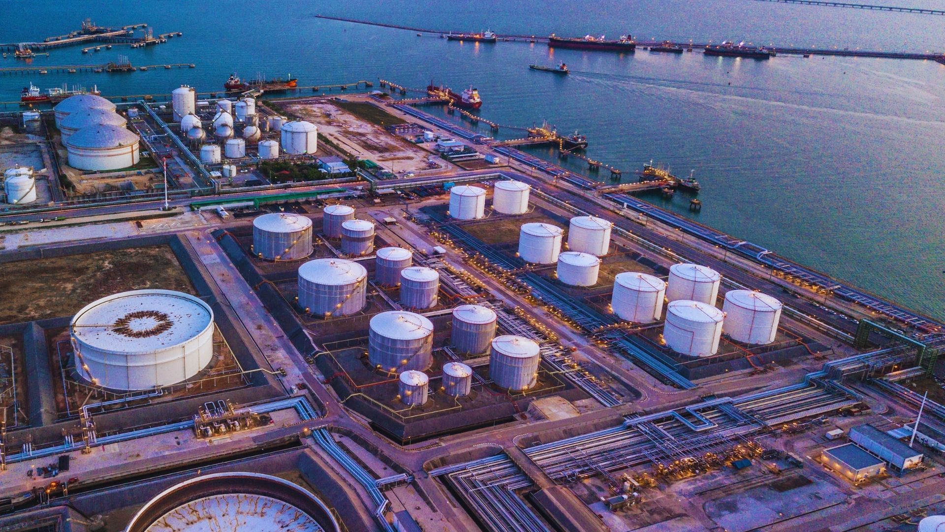
The Port of Rotterdam has implemented a new geofence system for optimizing ship movements. The system is the first step for the deployment of the Just-In-Time sailing project, whose goal is to reduce the hang time of vessels in the port and, hence, reduce emissions.
The geofence is an imaginary boundary surrounding the Port of Rotterdam, which is demarcated as an unofficial boundary in the implementation of the system.
The geofence boundary for the Port of Rotterdam has been defined to be 240 nautical miles from the Maascenter buoy. When any vessel passes that boundary, it is assigned a time of arrival and is considered to have entered the "inland shipping port-passage planning area." The port authorities and shipping agents then plan for the precise scheduling of the vessel's arrival at the port to minimize its stay.
This approach of just-in-time arrivals is reported to have a reduction in the vessel's fuel consumption and a reduction in CO2 emissions by 4.23%.
Recent News


.jpg)

.jpg)


.png)
.gif)
.png)
.gif)


.jpg)


.jpg)


.png)
.png)
.png)
.gif)
.png)
.png)
.png)
.gif)


.png)
.gif)

.png)
.png)


.gif)
.png)


.png)
.png)

.png)
.png)


.png)
.gif)
.gif)

.png)
.png)


.svg)
.svg)

DISCLAIMER: The information contained in this website, as well as all trademarks and logos displayed therein, belong solely to Hudson Shipping Lines (Hudson), and may not be copied or reproduced in any format for either public or commercial use without the express written consent of Hudson. Furthermore, Hudson may change said information at any time without prior notice. Though Hudson takes reasonable measures to ensure the accuracy of the content of this website, and the correct operation of same, Hudson does not guarantee the completeness of this information at all times. Therefore, said information must always be verified by contacting Hudson's local offices prior to acting upon it. Neither Hudson, nor any third party connected with Hudson, can be held liable for any direct or indirect damages derived from accessing this website and the information contained therein. Hudson assumes no responsibility for the content of any web links made available on this site.


.jpg)
.gif)
.gif)