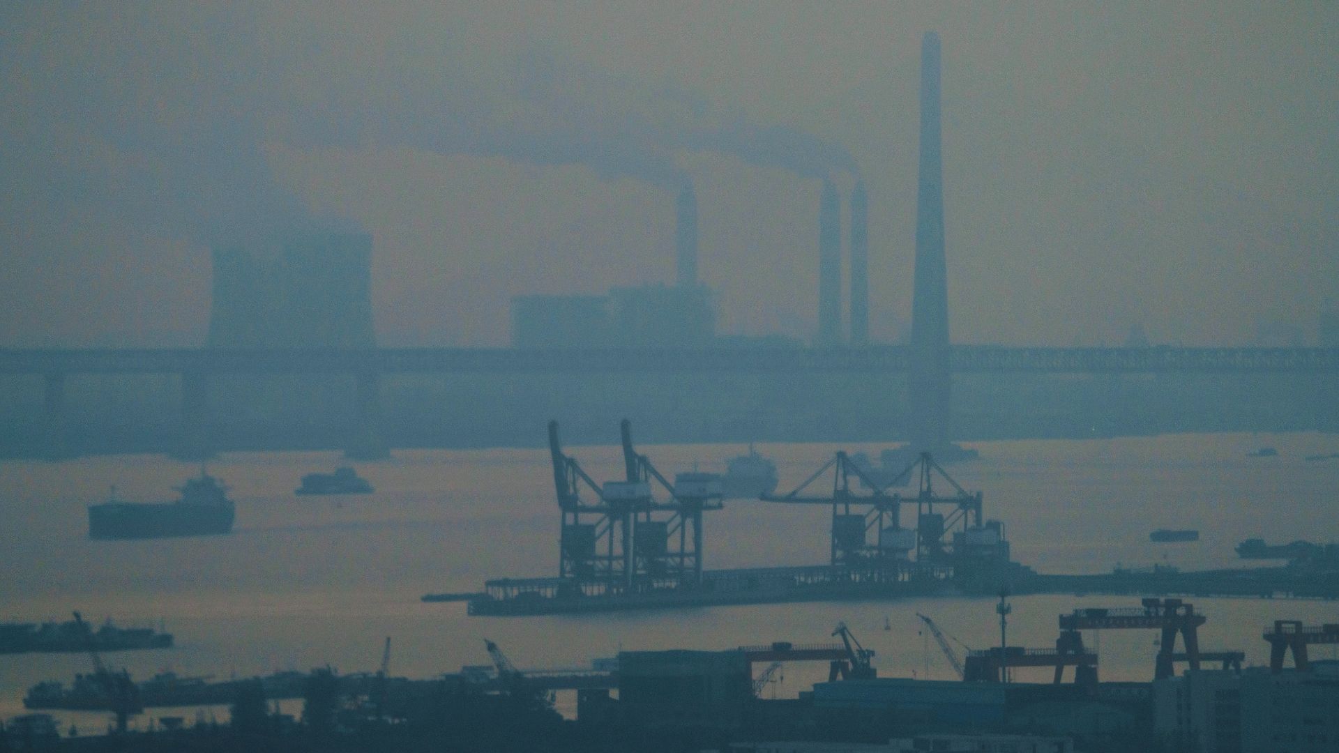
Open Letter Highlights Escalating Navigation Risks


Fourteen coastal states bordering the Baltic and North Seas, together with Iceland, have issued a coordinated open letter to the international maritime community cautioning against growing risks to navigational safety caused by interference with satellite navigation systems in European waters. The letter, published on 26 January 2026 by the UK Government, highlights growing incidents of Global Navigation Satellite Systems (GNSS) disruption, particularly in the Baltic Sea regions.
The signatories caution that interference attributed to activity originating from the Russian Federation is degrading the safety of international shipping. They emphasize the importance of uninterrupted GNSS Service and warn that “all vessels are at risk” of from such disruptions.
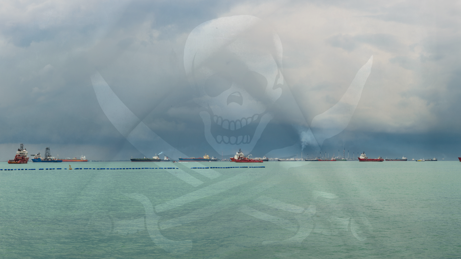
The letter further urges the maritime community to recognize the manipulation of GNSS and Automatic Identification Systems (AIS) as serious safety threats. It points to so-called “shadow” or “dark” fleets, vessels suspected of concealing their true movements through navigational manipulations, as a growing concern.
Vessels and flag administration are urged to remain fully compliant with international maritime regulations and reporting requirements, with the states also cautioning against operating under multiple flags, warning that such practices may result in vessels being treated as “ships without nationality”, with significant legal and operational consequences.
As reliance on digital navigation continues to grow, vigilance, transparency and compliance remain critical to maritime safety and integrity.
Recent News


.jpg)

.jpg)

.png)
.gif)
.png)
.gif)


.jpg)


.jpg)


.png)
.png)
.png)
.gif)
.png)
.png)
.png)
.gif)


.png)
.gif)

.png)
.png)


.gif)
.png)


.png)
.png)

.png)
.png)


.png)
.gif)
.gif)

.png)
.png)
.png)


.svg)
.svg)

DISCLAIMER: The information contained in this website, as well as all trademarks and logos displayed therein, belong solely to Hudson Shipping Lines (Hudson), and may not be copied or reproduced in any format for either public or commercial use without the express written consent of Hudson. Furthermore, Hudson may change said information at any time without prior notice. Though Hudson takes reasonable measures to ensure the accuracy of the content of this website, and the correct operation of same, Hudson does not guarantee the completeness of this information at all times. Therefore, said information must always be verified by contacting Hudson's local offices prior to acting upon it. Neither Hudson, nor any third party connected with Hudson, can be held liable for any direct or indirect damages derived from accessing this website and the information contained therein. Hudson assumes no responsibility for the content of any web links made available on this site.


.jpg)
.gif)
.gif)